ITTO Project
(PP-A/60-369)
“STRENGTHENING SURVEILLANCE AND MONITORING TO TACKLE THE SURGE IN FOREST LOSS AND LAND DEGRADATION, INDUCED BY INTENSIFYING CONFLICT IN THAILAND’S BORDER AREAS”
OUR APPOACH
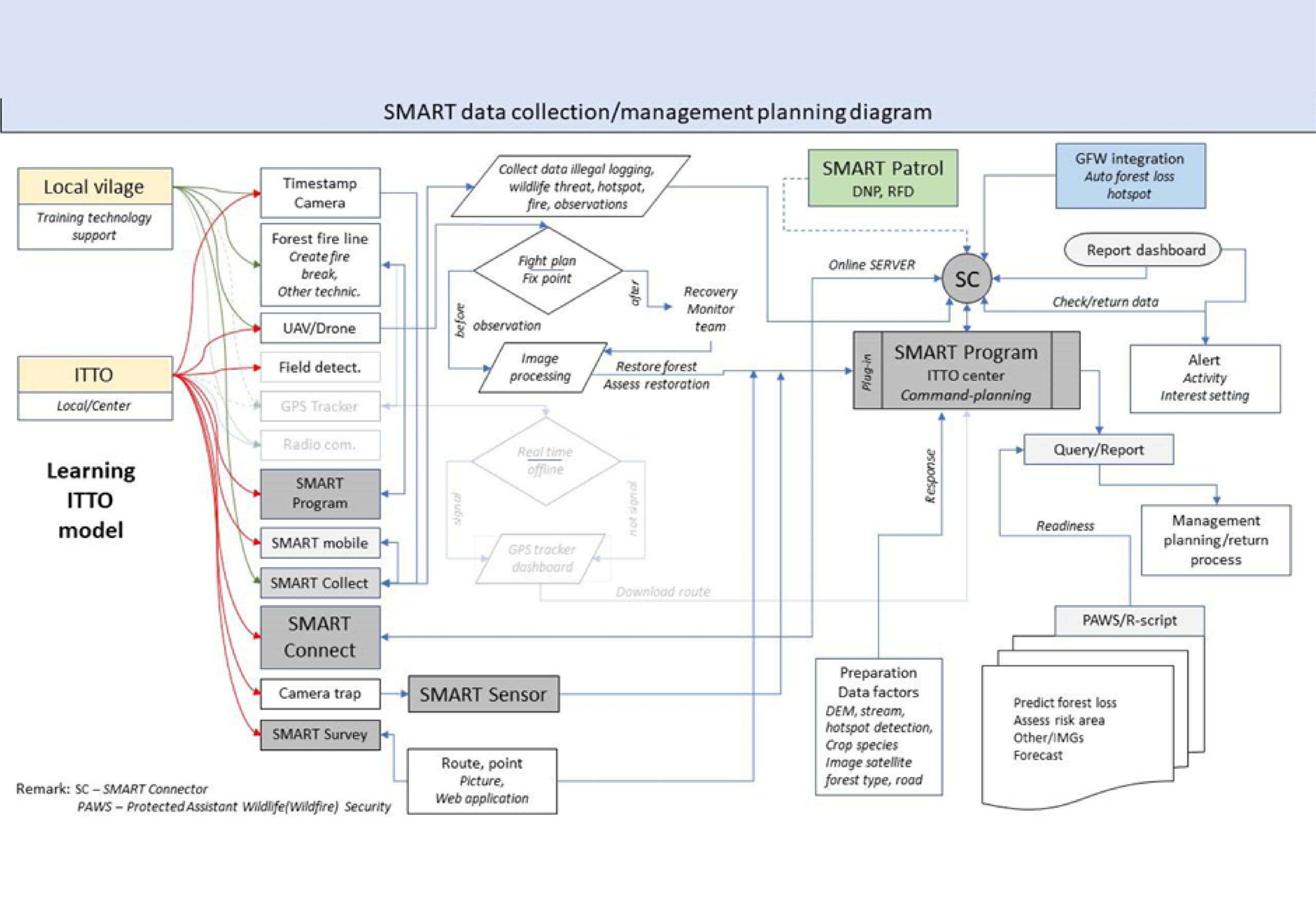
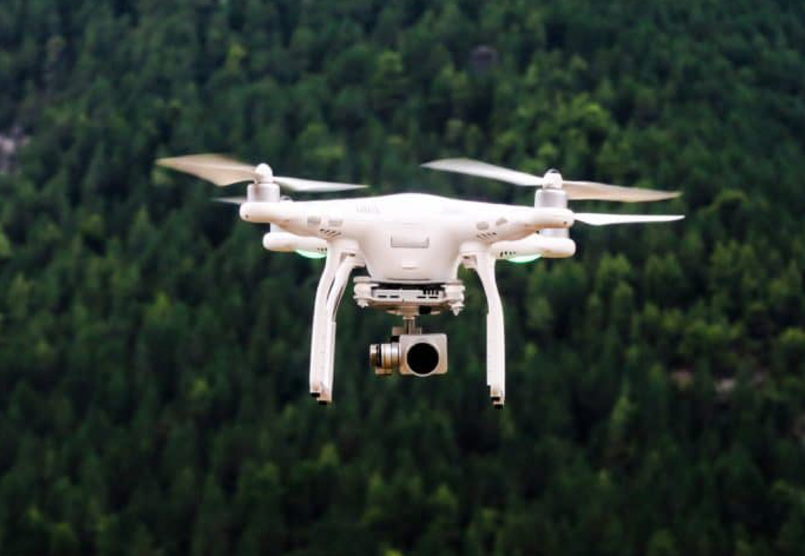
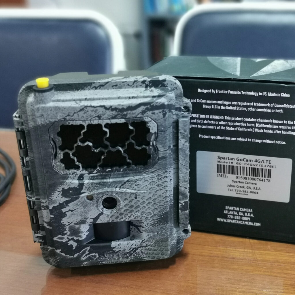
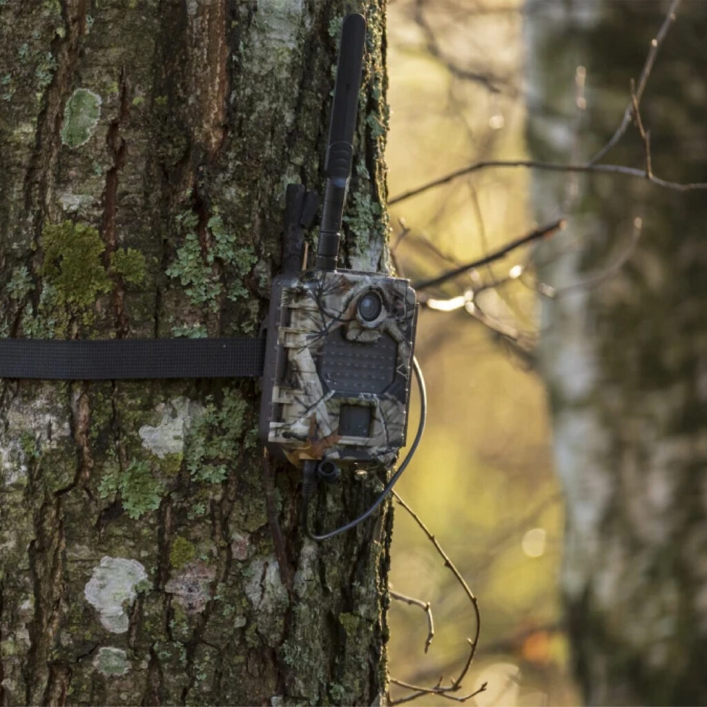
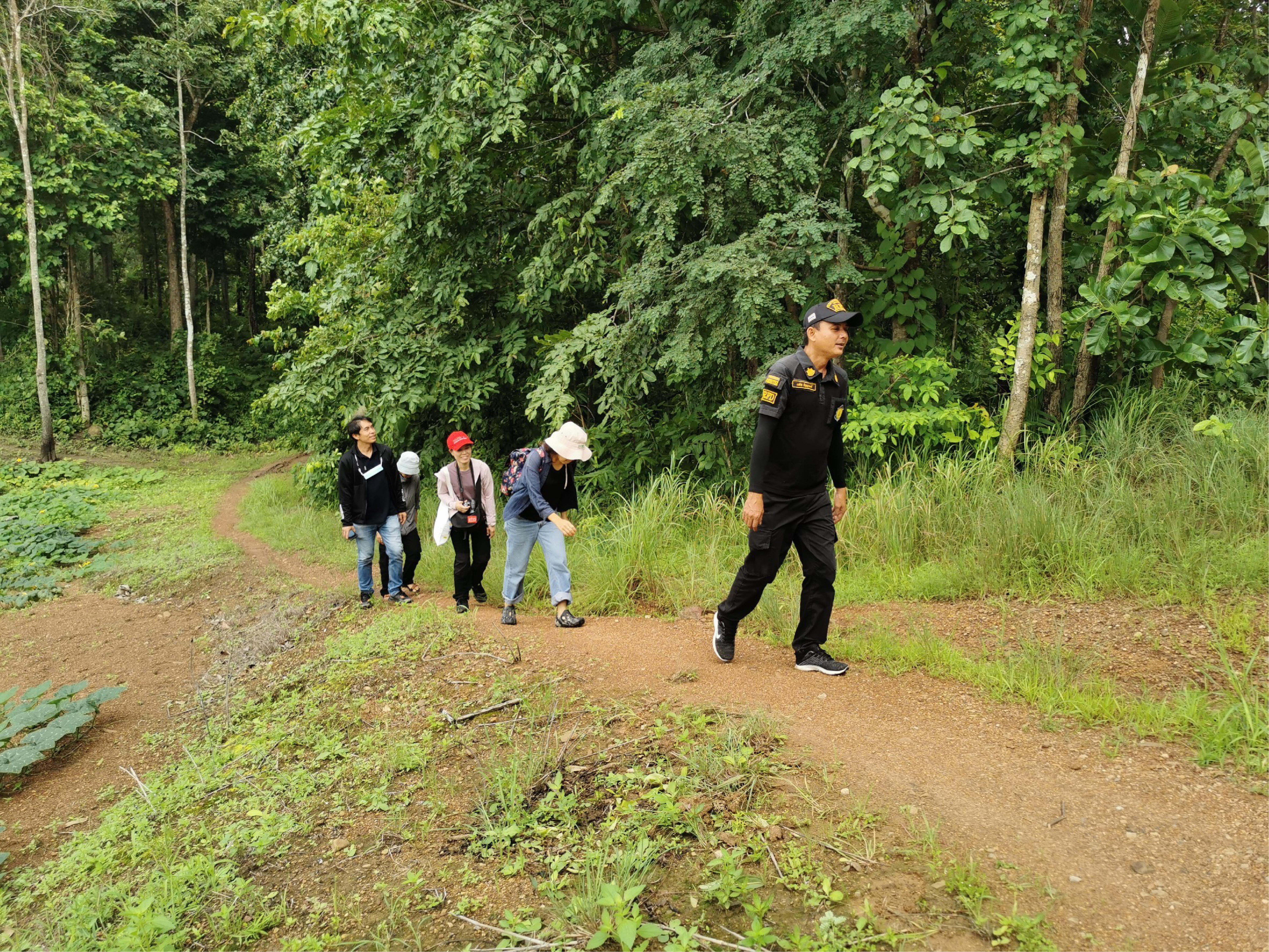
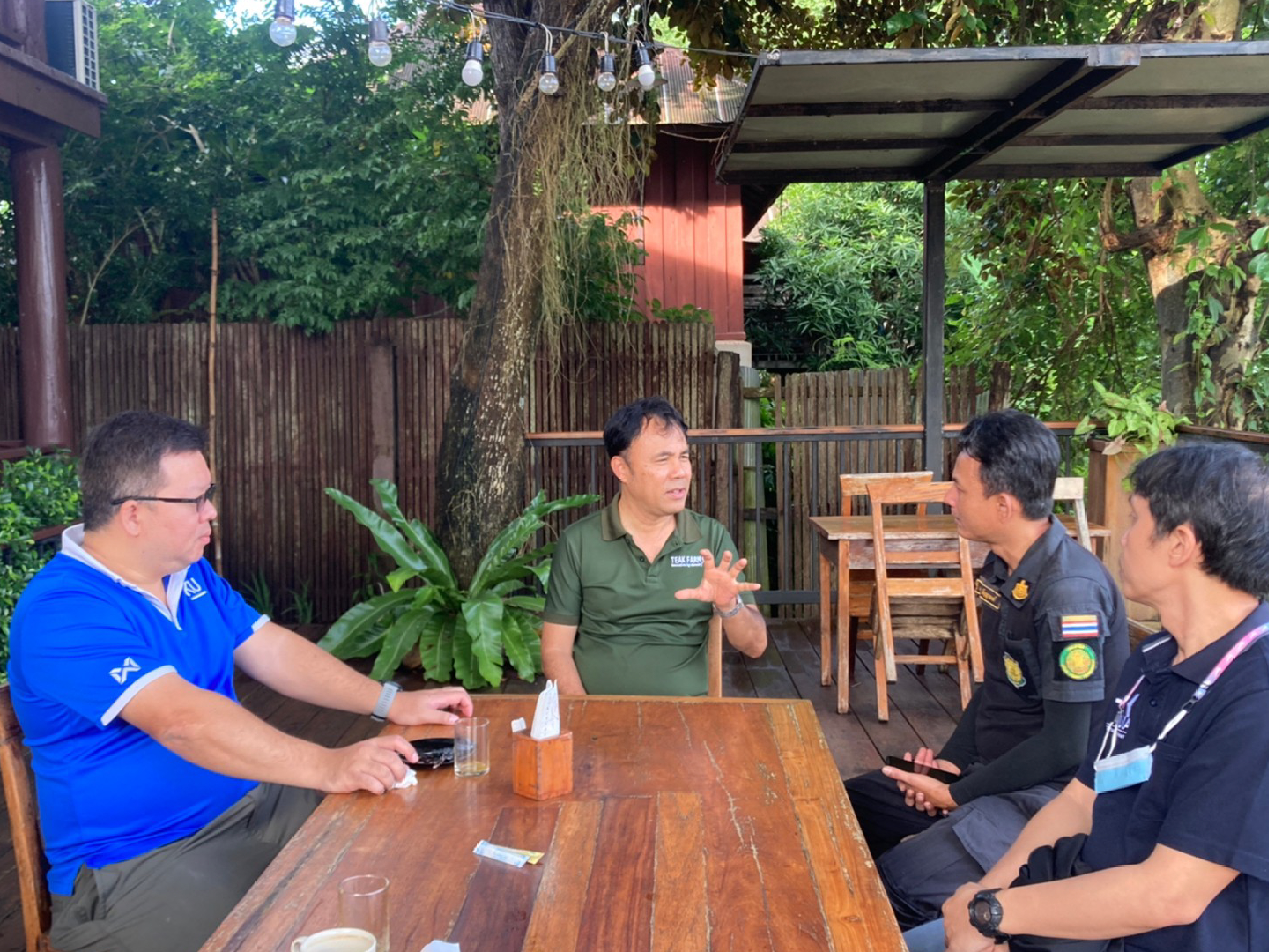
The project will work with local communities, local government, and youth in patrolling and reporting through citizen science. Using SMART technologies, we’ll employ multilayer monitoring technologies, including satellite images, drones, ground patrolling, and camera traps for real-time monitoring and reporting of forest loss. We plan to assess the sites next week before installing equipment. This project will be the first to use SMART technology with the RFD, aiming to extend this method to other community forests. We’ll also conduct workshops on livelihood improvement, focusing on valued-added handicraft products and sustainable practices.
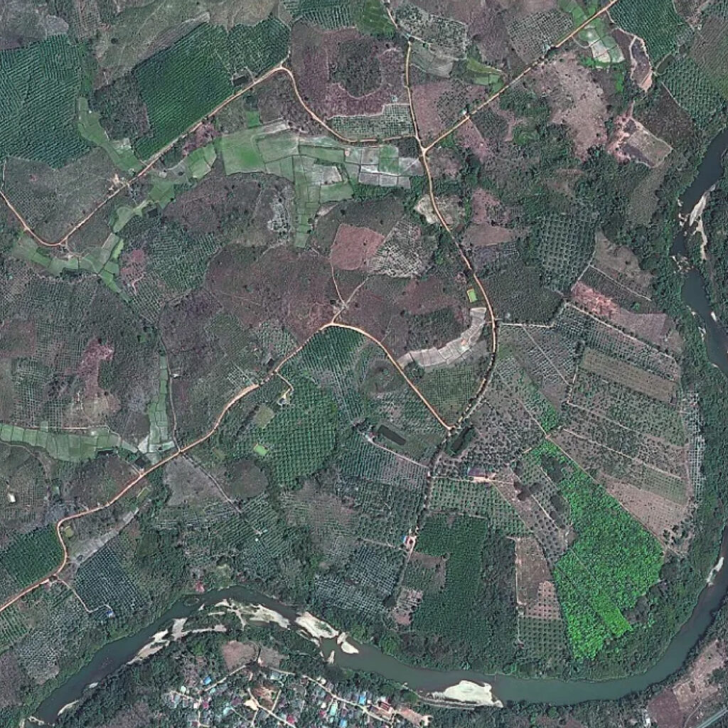
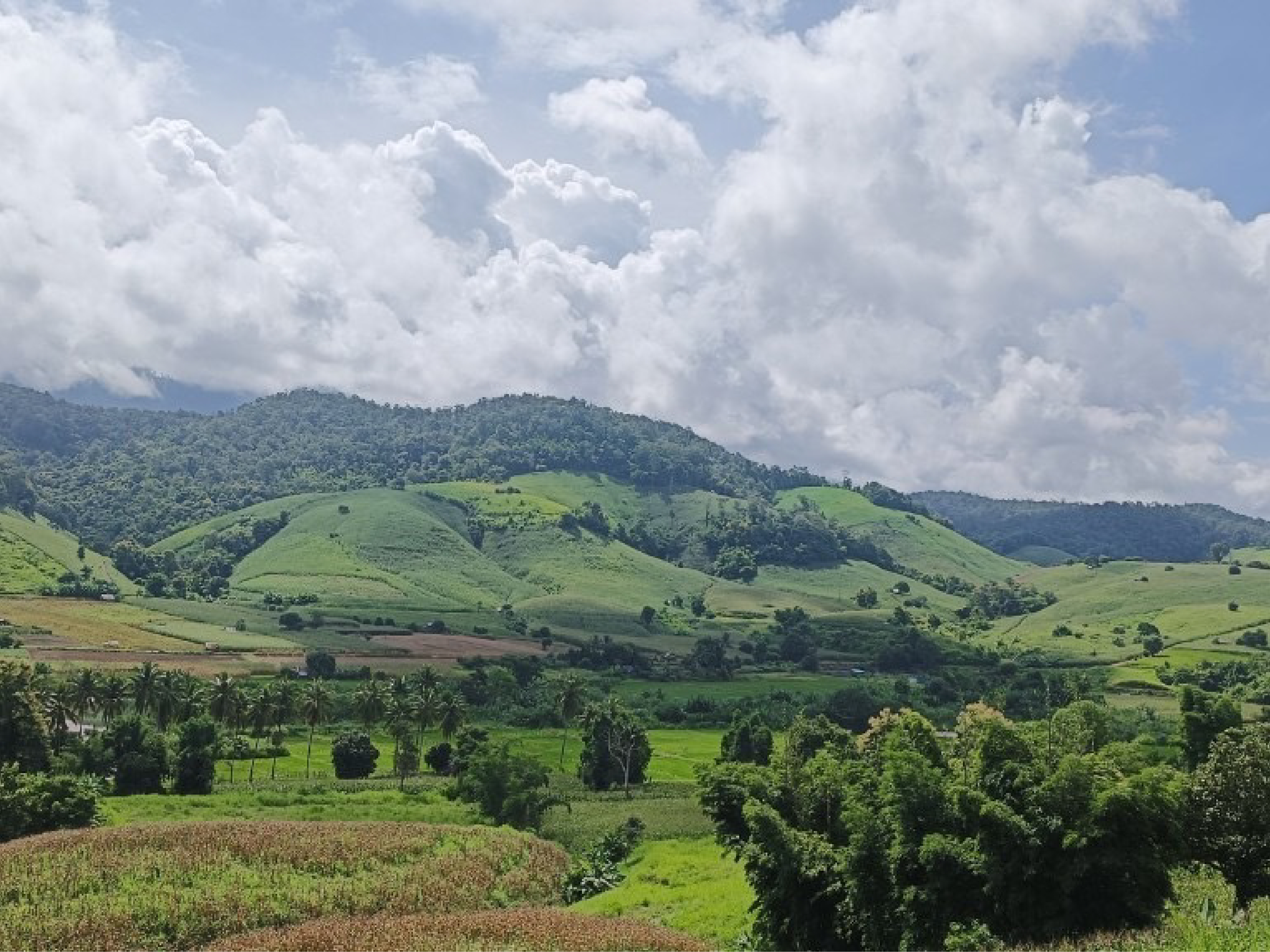
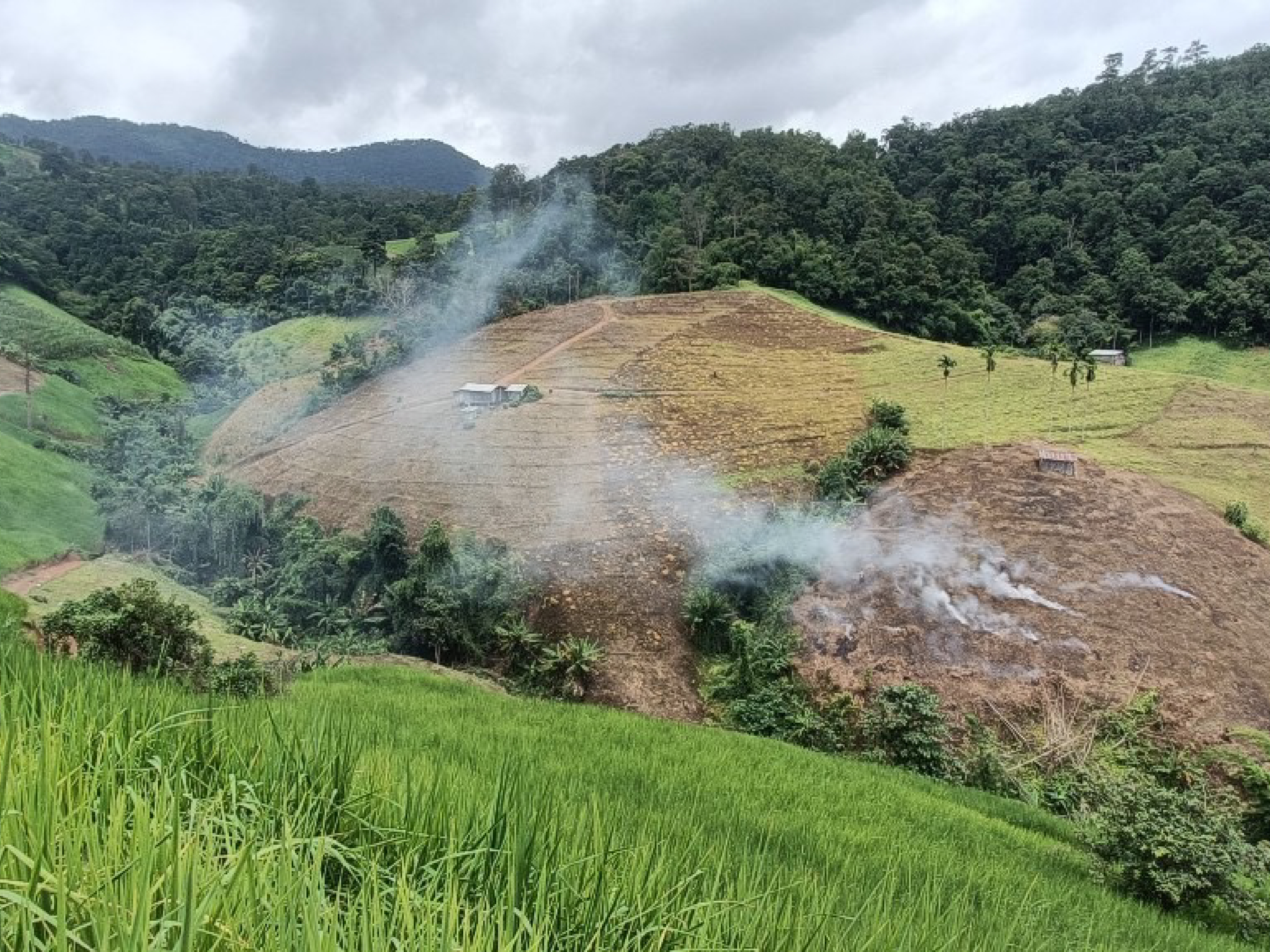
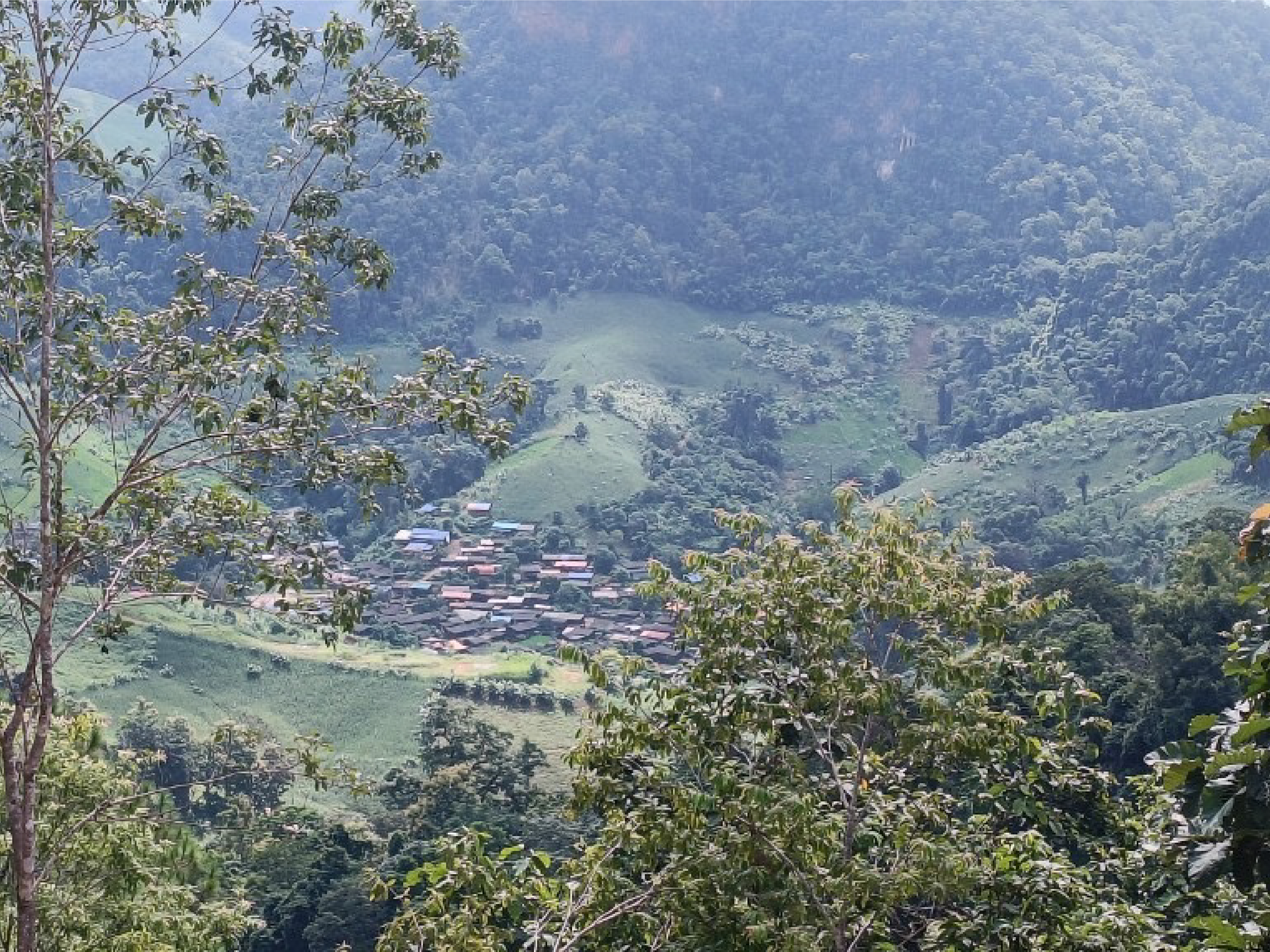
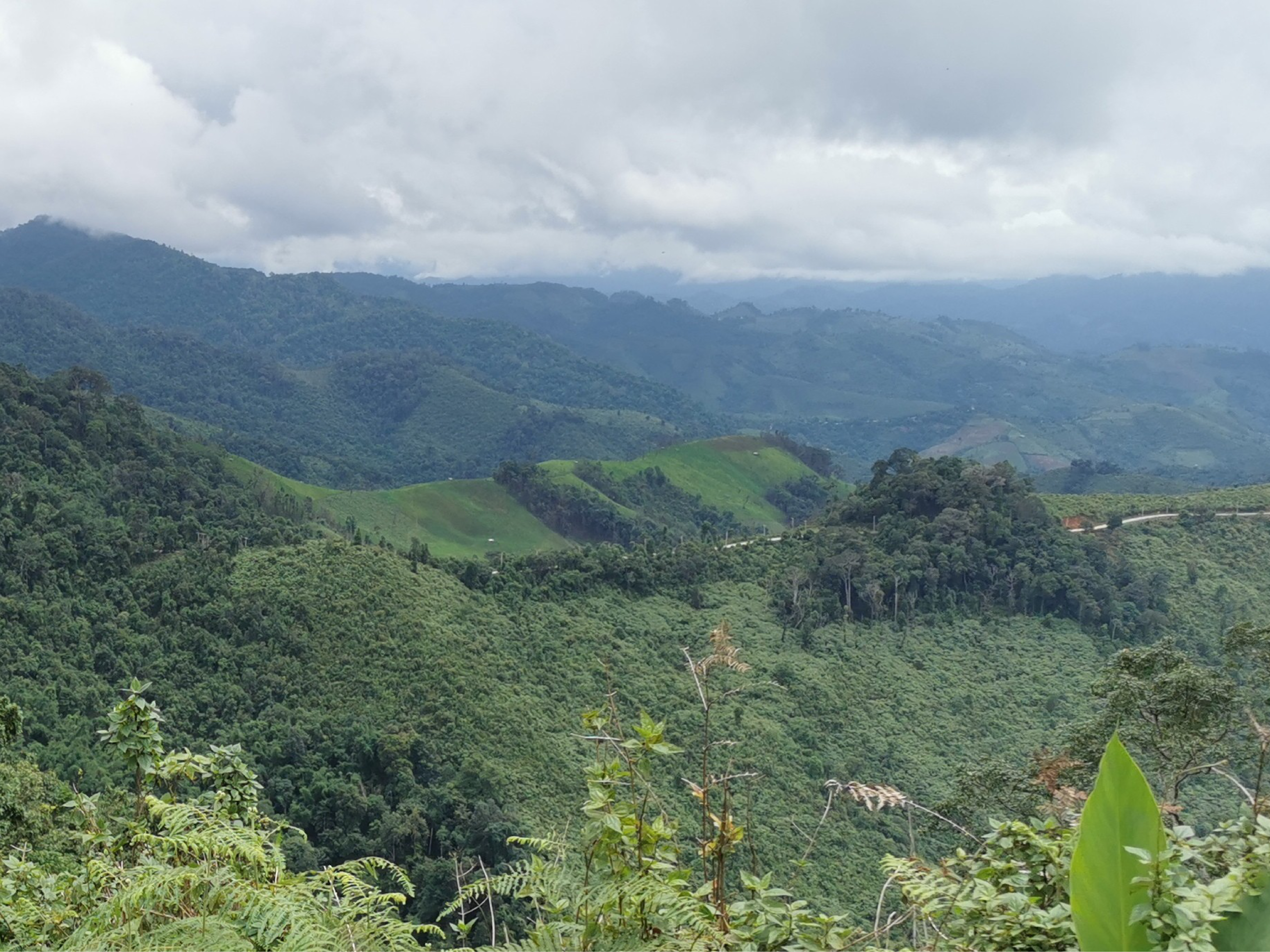
Our project involves using satellite images to track forest loss in Mae Hong Son Province, in particular the 20-km along the Myanmar border. By comparing interpreted satellite data between 1990 and the present, we can detect land use/land cover changes and are able to model future deforestation risk areas. We will involve four principles: 1) Local participatory; 2) SMART technologies; 3) Capacity building; and 4) Local livelihood improvement.
